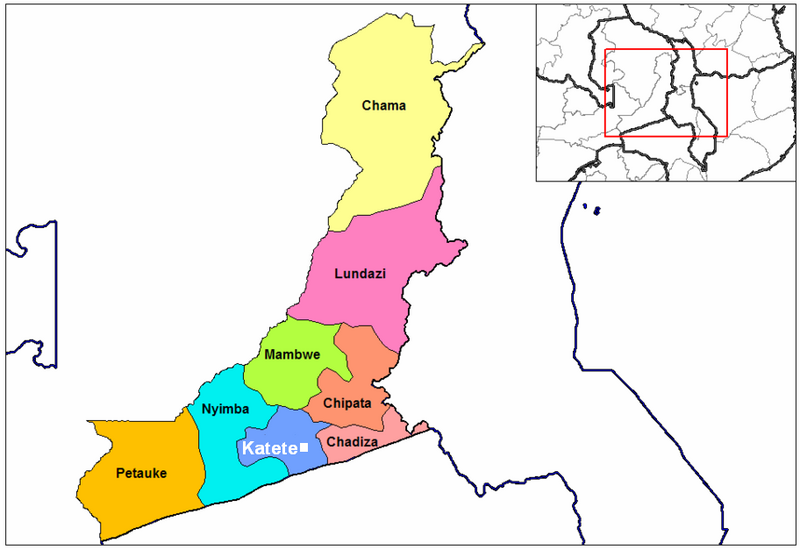
File:Katete town district location.PNG
Appearance

Size of this preview: 800 × 550 pixels. Other resolutions: 320 × 220 pixels | 640 × 440 pixels | 912 × 627 pixels.
Original file (912 × 627 pixels, file size: 102 KB, MIME type: image/png)
File history
Click on a date/time to view the file as it appeared at that time.
| Date/Time | Thumbnail | Dimensions | User | Comment | |
|---|---|---|---|---|---|
| current | 13:50, 21 April 2007 |  | 912 × 627 (102 KB) | Rexparry sydney~commonswiki | == Summary == {{Information |Description=Katete town & district location map |Source=self-made from Image:Eastern Zambia districts.png (public domain) |Date=20-4-07 |Author= MyName (Rexparry sydney) |other_versions=Based on Image |
File usage
The following page uses this file:
Global file usage
The following other wikis use this file:
- Usage on nl.wiki.x.io
- Usage on pt.wiki.x.io
- Usage on zh.wiki.x.io
- Usage on zu.wiki.x.io
