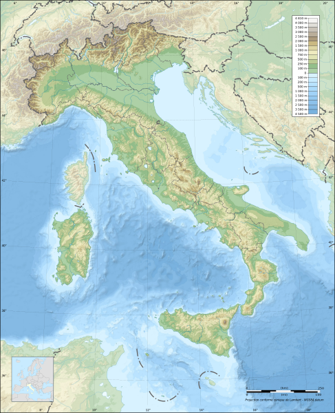
File:Italy topographic map-blank.svg
Appearance

Size of this PNG preview of this SVG file: 487 × 600 pixels. Other resolutions: 195 × 240 pixels | 390 × 480 pixels | 623 × 768 pixels | 831 × 1,024 pixels | 1,662 × 2,048 pixels | 1,759 × 2,167 pixels.
Original file (SVG file, nominally 1,759 × 2,167 pixels, file size: 1.98 MB)
File history
Click on a date/time to view the file as it appeared at that time.
| Date/Time | Thumbnail | Dimensions | User | Comment | |
|---|---|---|---|---|---|
| current | 21:13, 17 July 2010 |  | 1,759 × 2,167 (1.98 MB) | Sting | Oups! Not the correct background |
| 21:05, 17 July 2010 |  | 1,759 × 2,167 (2.17 MB) | Sting | Color profile: better unsaturated colors than over-saturated ones in non color managed browsers | |
| 14:16, 14 September 2009 |  | 1,759 × 2,167 (1.96 MB) | Sting | updating borders after important variation (http://www.gazzettaufficiale.it/guridb/dispatcher?service=1&datagu=2009-08-14&task=dettaglio&numgu=188&redaz=009G0127&tmstp=1250276942469) - cf File:Italy_location_map.svg ; + several other improvements | |
| 04:07, 26 April 2009 |  | 1,759 × 2,167 (1.77 MB) | Sting | == Summary == {{Location|42|00|00|N|12|00|00|E|scale:5000000}} <br/> {{Information |Description={{en|Blank topographic map of Italy, with regions boundaries.<br/>''Note:'' The background map is a raster image embedded in the SVG file.}} {{fr |
File usage
The following page uses this file:
Global file usage
The following other wikis use this file:
- Usage on ar.wiki.x.io
- Usage on ast.wiki.x.io
- Usage on azb.wiki.x.io
- بولونیا
- اسکافاتی
- سیراکوز
- مونتزا
- جیوگلیانو
- لاتینا
- ساساری
- فرارا
- سالرنو
- ریمینی
- فوجا
- لیورنو
- راونا
- پروجا
- رجیو نل امیلیا
- رجیو کالابریا
- پراتو
- پارما
- برشا
- تریسته
- پادووا
- مسینا
- ونیز
- کاتانیا
- باری
- فلورانس
- جینووا
- تورین
- ناپول
- پوتزولی
- سستو سان جووانی
- گروستو
- مارسالا
- بوستو آرسیتسیو
- ترویزو
- کومو
- توره دل گرکو
- بریندیزی
- لوکا
- گیدونیا مونتچلیو
- کاتانزارو
- لا اسپتزیا
- آلساندریا
- پزارو
- بارلتا
- لچه
- چزنا
View more global usage of this file.


