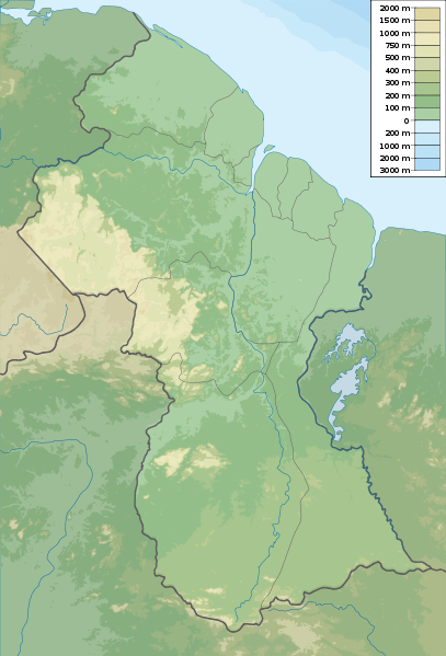
File:Guyana physical map.svg
Appearance

Size of this PNG preview of this SVG file: 407 × 599 pixels. Other resolutions: 163 × 240 pixels | 326 × 480 pixels | 522 × 768 pixels | 696 × 1,024 pixels | 1,392 × 2,048 pixels | 851 × 1,252 pixels.
Original file (SVG file, nominally 851 × 1,252 pixels, file size: 1.62 MB)
File history
Click on a date/time to view the file as it appeared at that time.
| Date/Time | Thumbnail | Dimensions | User | Comment | |
|---|---|---|---|---|---|
| current | 05:54, 16 March 2011 |  | 851 × 1,252 (1.62 MB) | Urutseg |
File usage
The following 42 pages use this file:
- Abary River
- Acarai Mountains
- Akaiwang River
- Arnik River
- Barama River
- Berbice River
- Canje River
- Demerara River
- Eastern Tepuis
- Ekereku River
- Georgetown, Guyana
- Kaituma River
- Kako River
- Kassikaityu River
- King George VI Falls
- Koatse
- Kuribrong River
- Kurupung River
- Kuyuwini River
- Lake Parime
- List of fossiliferous stratigraphic units in Guyana
- Mahaica River
- Mahaicony River
- Mainstay Lake
- Maringma-tepui
- Merume River
- Moruka River
- Mount Ayanganna
- Mount Roraima
- Mount Wokomung
- Murrays Fall
- New River (South America)
- Pomeroon River
- Puruni River
- Queenstown Mosque
- Takutu Formation
- Takutu River
- Waini River
- Wakapau River
- Wei-Assipu-tepui
- Module:Location map/data/Guyana
- Module:Location map/data/Guyana/doc
Global file usage
The following other wikis use this file:
- Usage on ar.wiki.x.io
- Usage on ast.wiki.x.io
- Usage on az.wiki.x.io
- Usage on ba.wiki.x.io
- Usage on be.wiki.x.io
- Usage on bg.wiki.x.io
- Usage on bn.wiki.x.io
- Usage on bs.wiki.x.io
- Usage on ceb.wiki.x.io
- Usage on ce.wiki.x.io
- Usage on ckb.wiki.x.io
- Usage on cs.wiki.x.io
- Usage on de.wiki.x.io
- Usage on de.wikivoyage.org
- Usage on el.wiki.x.io
- Usage on eo.wiki.x.io
- Usage on fa.wiki.x.io
- Usage on frr.wiki.x.io
- Usage on gl.wiki.x.io
- Usage on he.wiki.x.io
- Usage on he.wikivoyage.org
- Usage on hif.wiki.x.io
- Usage on hi.wiki.x.io
View more global usage of this file.
