
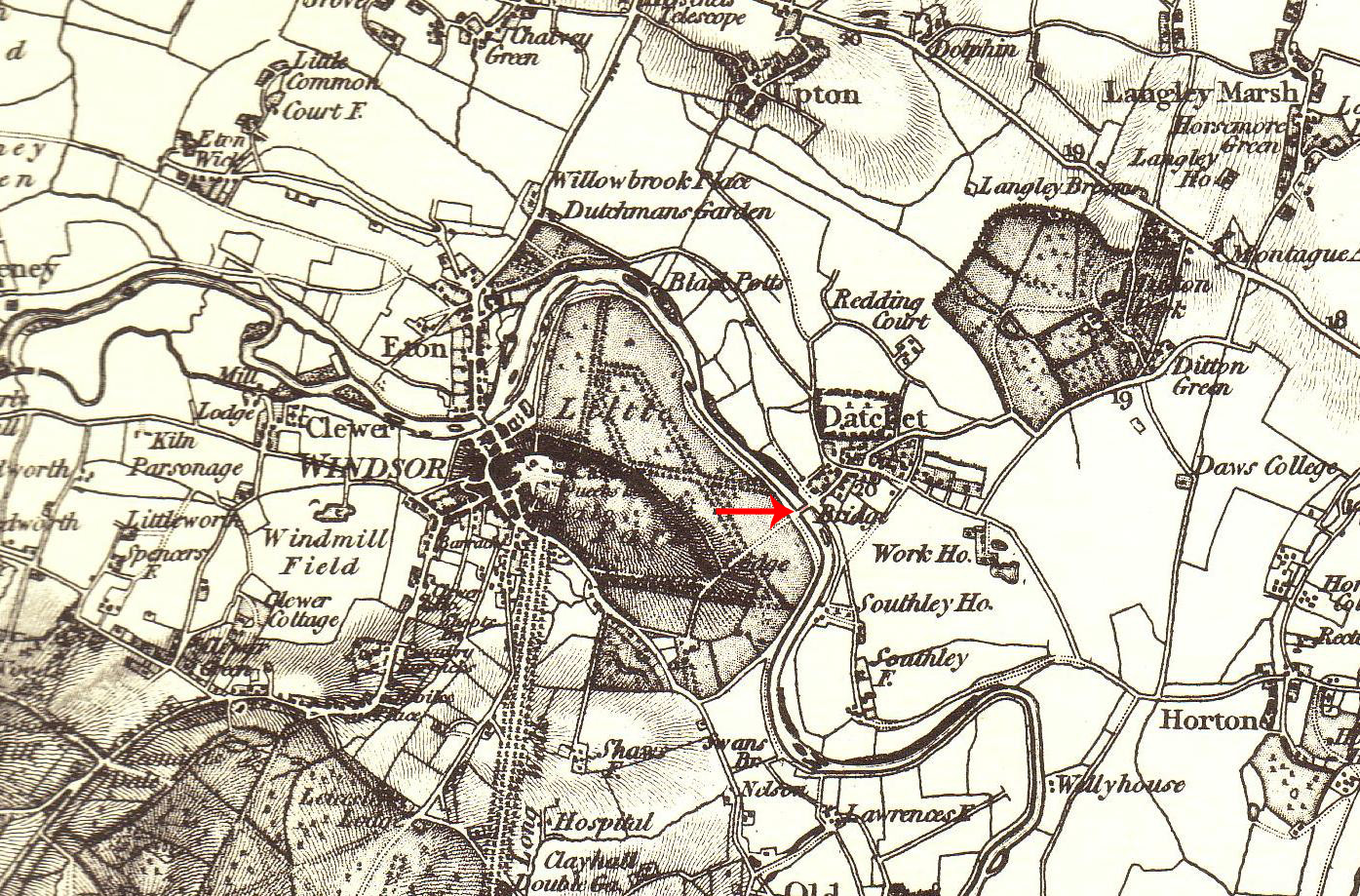
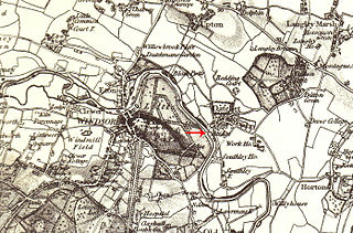
File:Datchet Bridge Ordnance Survey 1822 (Nancy).jpg
Size of this preview: 800 × 527 pixels. Other resolutions: 320 × 211 pixels | 640 × 422 pixels | 1,024 × 675 pixels | 1,395 × 919 pixels.
Original file (1,395 × 919 pixels, file size: 637 KB, MIME type: image/jpeg)
| This is a file from the Wikimedia Commons. Information from its description page there is shown below. Commons is a freely licensed media file repository. You can help. |
.jpg)
Summary
| Description |
English: Scan of 1822 Ordnance Survey map with annotation to locate Datchet Bridge |
| Date | |
| Source | 1822 Ordnance Survey Map of Berkshire |
| Author | Ordnance Survey of Great Britain |
Licensing
|
This work is in the public domain in its country of origin and other countries and areas where the copyright term is the author's life plus 70 years or fewer. | |
| This file has been identified as being free of known restrictions under copyright law, including all related and neighboring rights. | |
File history
Click on a date/time to view the file as it appeared at that time.
| Date/Time | Thumbnail | Dimensions | User | Comment | |
|---|---|---|---|---|---|
| current | 18:50, 25 November 2009 | | 1,395 × 919 (637 KB) | Nancy | {{Information |Description={{en|1=Scan of 1822 Ordnance Survey map with annotation to locate Datchet Bridge}} |Source=1822 Ordnance Survey Map of Berkshire |Author=Ordnance Survey of Great Britain |Date=1822 |Permission= |other_versions= }} [[Category:Br |
File usage
The following 2 pages use this file:
.jpg)