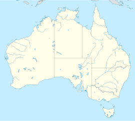
Brisbane Ranges National Park
| Brisbane Ranges National Park Error: |state= not defined (help) | |
|---|---|
 | |
| Coordinates | 37°47′43″S 144°16′43″E / 37.79528°S 144.27861°E |
| Established | 1973 |
| Area | 77.18 km² |
Error: |type= not defined (help) | |
The Brisbane Ranges National Park is a national park in Anakie, Victoria, Australia, 80 km west of Melbourne. The park is the responsibility of Parks Victoria.[1] The park covers part of the Brisbane Ranges, an area of hills of moderate elevation.
The park features a number of walking tracks, of which the walk through Anakie Gorge is the most popular.[2] Other attractions include the Ted Errey Nature Circuit and Wadawurrung walk. Relatively flat and suitable for the young and the reasonably healthy elderly, the walk features views of the Gorge itself and the presence of koalas and wallabies in their wild state (at least some of the resident wallabies are relatively unafraid of tourists and will often study the passing parade of visitors as keenly as the visitors study them).
On 16 January 2006, lightning sparked a bushfire in the Steiglitz historical area which soon spread throughout the Brisbane Ranges. Despite lengthy efforts to control the fire from DSE, Parks Victoria and CFA fire fighters, the blaze incinerated 6700 hectares of parkland but luckily destroyed only two houses and caused no human fatalities.
References
- ^ A complete history of the park from parkweb, a gov. site
- ^ Brisbane Ranges Park Notes, Parks Victoria, September 2005
External links
- Parks Victoria official Brisbane Ranges site
- Friends of Brisbane Ranges
- Wildflowers after fire, abc.net.au
- Life after bushfire: Anakie and the Brisbane Ranges National Park, abc.net.au
- Bushfires threaten properties in north-east Vic, abc.net.au

