
File:West Florida and Louisiana in 1781.jpg
Size of this preview: 800 × 600 pixels. Other resolutions: 320 × 240 pixels | 640 × 480 pixels | 1,024 × 768 pixels.
Original file (1,024 × 768 pixels, file size: 167 KB, MIME type: image/jpeg)
| This is a file from the Wikimedia Commons. Information from its description page there is shown below. Commons is a freely licensed media file repository. You can help. |
Summary
| Description |
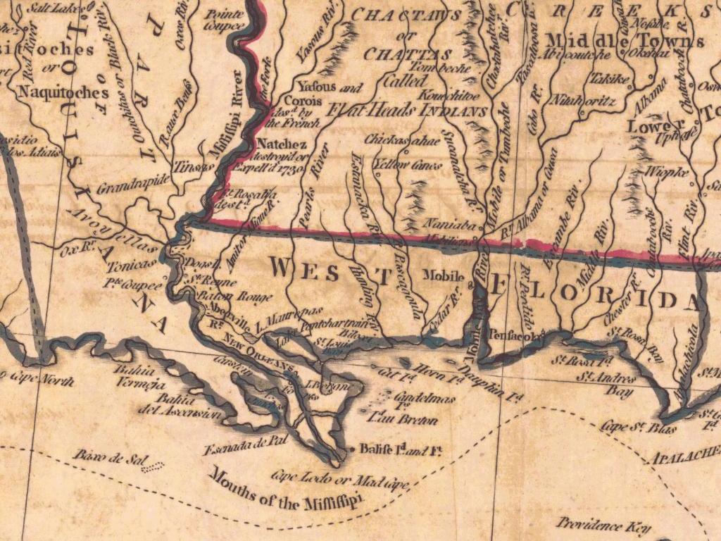
English: A portion of: A Map of the East and West Florida, Georgia, Louisiana. |
||||||
| Date | 1781, published in London by J. Bew | ||||||
| Source | University of Alabama: Department of Geography | ||||||
| Author | John Lodge | ||||||
| Permission (Reusing this file) |
|


File history
Click on a date/time to view the file as it appeared at that time.
| Date/Time | Thumbnail | Dimensions | User | Comment | |
|---|---|---|---|---|---|
| current | 05:27, 7 February 2008 | | 1,024 × 768 (167 KB) | Altairisfar | == Summary == {{Information |Description={{en|A portion of: A Map of the East and West Florida, Georgia, Louisiana.}} |Source=[http://alabamamaps.ua.edu/historicalmaps/southeast/1750-1800.html University of Alabama: Department of Geography] |Date=1781, pu |
File usage
The following 2 pages use this file:
Global file usage
The following other wikis use this file:
- Usage on ca.wiki.x.io
- Usage on es.wiki.x.io