
File:USGS Map 1970 Truhart Quad Excerpt King and Queen County.png
Size of this preview: 800 × 423 pixels. Other resolutions: 320 × 169 pixels | 640 × 339 pixels | 1,391 × 736 pixels.
Original file (1,391 × 736 pixels, file size: 1.81 MB, MIME type: image/png)
| This is a file from the Wikimedia Commons. Information from its description page there is shown below. Commons is a freely licensed media file repository. You can help. |
Summary
| Description |
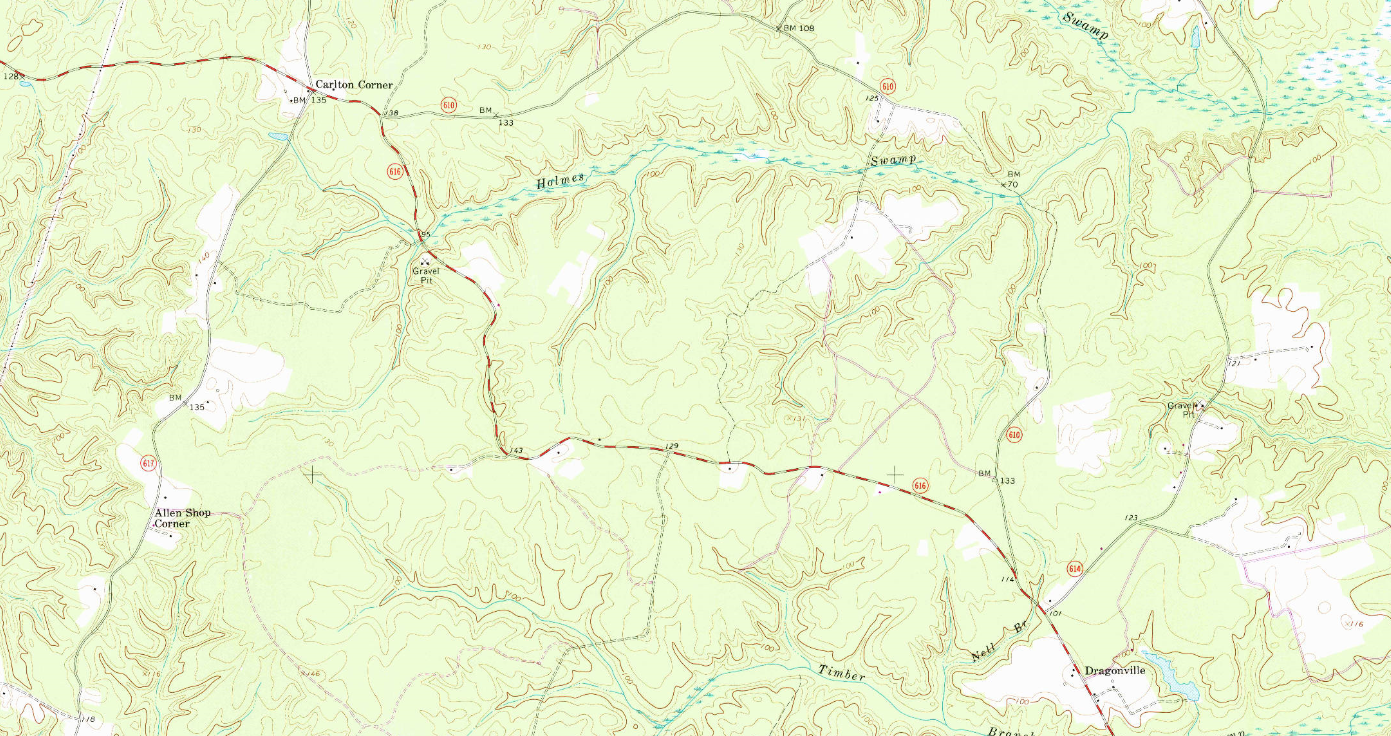
English: Excerpt of 1970 USGS Map, Truhart Quadrangle, King and Queen County, Virginia (Scale 1:24000) showing Allen Shop Corner, Carlton Corner, and Dragonville |
| Date | |
| Source | https://ngmdb.usgs.gov/ht-bin/tv_browse.pl?id=a56e77e79a464557d5bf1c0823ae1073 |
| Author | United States Geological Survey |
Licensing
This image is in the public domain in the United States because it only contains materials that originally came from the United States Geological Survey, an agency of the United States Department of the Interior. For more information, see the official USGS copyright policy.
|
File history
Click on a date/time to view the file as it appeared at that time.
| Date/Time | Thumbnail | Dimensions | User | Comment | |
|---|---|---|---|---|---|
| current | 15:36, 7 June 2021 | | 1,391 × 736 (1.81 MB) | Milowent | Uploaded a work by United States Geological Survey from https://ngmdb.usgs.gov/ht-bin/tv_browse.pl?id=a56e77e79a464557d5bf1c0823ae1073 with UploadWizard |
File usage
The following page uses this file: