
File:Trails on Table Rock Mountain NC Topo.png
Size of this preview: 570 × 600 pixels. Other resolutions: 228 × 240 pixels | 456 × 480 pixels | 880 × 926 pixels.
Original file (880 × 926 pixels, file size: 869 KB, MIME type: image/png)
| This is a file from the Wikimedia Commons. Information from its description page there is shown below. Commons is a freely licensed media file repository. You can help. |
Summary
| Description |
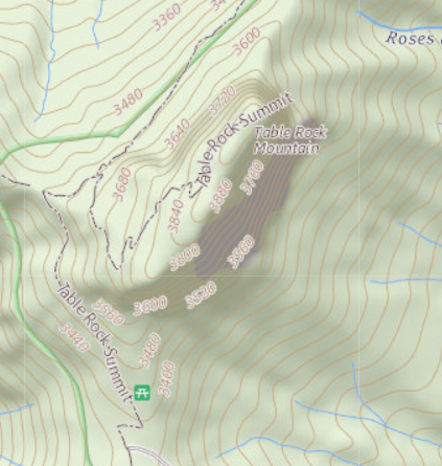
English: Excerpt from a USGS topo map, depicting Table Rock Mountain, North Carolina. |
| Date | |
| Source |
Partial screengrab from the USGS National Map Viewer; as displayed on 5/21/2022. Search term Table Rock Mountain, NC, USA. https://apps.nationalmap.gov/viewer/ |
| Author | USGS |
Licensing
This image is in the public domain in the United States because it only contains materials that originally came from the United States Geological Survey, an agency of the United States Department of the Interior. For more information, see the official USGS copyright policy.
|
File history
Click on a date/time to view the file as it appeared at that time.
| Date/Time | Thumbnail | Dimensions | User | Comment | |
|---|---|---|---|---|---|
| current | 12:36, 22 May 2022 | | 880 × 926 (869 KB) | Geogene | Uploaded a work by USGS from Partial screengrab from the USGS National Map Viewer; as displayed on 5/21/2022. Search term Table Rock Mountain, NC, USA. https://apps.nationalmap.gov/viewer/ with UploadWizard |
File usage
The following page uses this file: