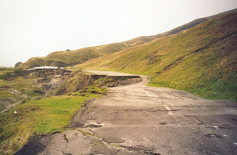
File:SubsidedRoad.jpg
Appearance

Size of this preview: 800 × 525 pixels. Other resolutions: 320 × 210 pixels | 640 × 420 pixels | 948 × 622 pixels.
Original file (948 × 622 pixels, file size: 132 KB, MIME type: image/jpeg)
File history
Click on a date/time to view the file as it appeared at that time.
| Date/Time | Thumbnail | Dimensions | User | Comment | |
|---|---|---|---|---|---|
| current | 10:27, 16 August 2007 |  | 948 × 622 (132 KB) | Woudloper | {{Information |Description=A section of the en:A6187 road, near Castleton, UK, destroyed by geological subsidence. Now permanently closed. See en:Mam Tor, en:A625 road. See the [http://www.pberry.plus.com/ukroads/road_trips/mam_tor/plaque |
File usage
The following 3 pages use this file:
Global file usage
The following other wikis use this file:
- Usage on ar.wiki.x.io
- Usage on ca.wiki.x.io
- Usage on cs.wiki.x.io
- Usage on de.wiki.x.io
- Usage on fr.wiki.x.io
- Usage on gl.wiki.x.io
- Usage on he.wiki.x.io
- Usage on it.wiki.x.io
- Usage on ms.wiki.x.io
- Usage on nl.wiki.x.io
- Usage on pt.wiki.x.io
- Usage on ro.wiki.x.io
- Usage on simple.wiki.x.io
- Usage on sl.wiki.x.io
- Usage on ta.wiki.x.io
- Usage on uk.wiki.x.io
- Usage on zh.wiki.x.io
