
File:Rodrigues Zonenkarte de.png

Size of this preview: 637 × 600 pixels. Other resolutions: 255 × 240 pixels | 510 × 480 pixels | 816 × 768 pixels | 1,088 × 1,024 pixels | 1,284 × 1,209 pixels.
Original file (1,284 × 1,209 pixels, file size: 559 KB, MIME type: image/png)
| This is a file from the Wikimedia Commons. Information from its description page there is shown below. Commons is a freely licensed media file repository. You can help. |
Summary
| Description |
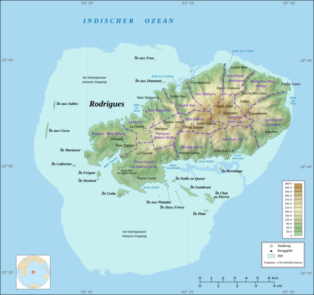
Deutsch: Zonenkarte der Insel Rodrigues |
| Source | Own work + File:Rodrigues Island topographic map-de.svg by Sting + borders: [1] |
| Author | Vuxi |
| Other versions | Derivative works of this file: Rodrigues Island topographic-zones map-fr.svg |
Licensing
I, the copyright holder of this work, hereby publish it under the following license:
This file is licensed under the Creative Commons Attribution-Share Alike 3.0 Unported license.
- You are free:
- to share – to copy, distribute and transmit the work
- to remix – to adapt the work
- Under the following conditions:
- attribution – You must give appropriate credit, provide a link to the license, and indicate if changes were made. You may do so in any reasonable manner, but not in any way that suggests the licensor endorses you or your use.
- share alike – If you remix, transform, or build upon the material, you must distribute your contributions under the same or compatible license as the original.
File history
Click on a date/time to view the file as it appeared at that time.
| Date/Time | Thumbnail | Dimensions | User | Comment | |
|---|---|---|---|---|---|
| current | 18:40, 18 January 2017 | | 1,284 × 1,209 (559 KB) | Vuxi | - asd at bottom of map |
| 18:39, 18 January 2017 |  | 1,284 × 1,209 (559 KB) | Vuxi | - asd at bottom of map | |
| 14:15, 2 March 2010 |  | 1,284 × 1,209 (549 KB) | Vuxi | + Schriftzug | |
| 21:56, 1 March 2010 |  | 1,284 × 1,209 (545 KB) | Vuxi | einige Orte | |
| 21:36, 27 February 2010 |  | 1,284 × 1,209 (539 KB) | Vuxi | + Namen der Zonen + Orte - Berge | |
| 10:45, 26 February 2010 |  | 1,284 × 1,209 (524 KB) | Vuxi | {{Information |Description={{de|1=Zonenkarte der Insel Rodrigues}} |Source={{own}} |Author=Vuxi |Date= |Permission= |other_versions= }} topographic map:File:Rodrigues Island topographic map-de.svg, borders: [http://www.gov.mu/portal/sit |
File usage
The following pages on the English Wikipedia use this file (pages on other projects are not listed):
Global file usage
The following other wikis use this file:
- Usage on bn.wiki.x.io
- Usage on ceb.wiki.x.io
- Usage on de.wiki.x.io
- Usage on eo.wiki.x.io
- Usage on fr.wiki.x.io
- Usage on hu.wiki.x.io
- Usage on it.wiki.x.io
- Usage on ja.wiki.x.io
- Usage on nl.wiki.x.io
- Usage on nl.wiktionary.org
- Usage on pl.wiki.x.io
- Usage on ro.wiki.x.io
- Usage on tr.wiki.x.io
- Usage on uk.wiki.x.io
- Usage on vi.wiki.x.io
- Usage on www.wikidata.org
- Usage on yo.wiki.x.io
- Usage on zh.wiki.x.io