
File:Noricum 1907.jpg

Size of this preview: 655 × 599 pixels. Other resolutions: 262 × 240 pixels | 525 × 480 pixels | 787 × 720 pixels.
Original file (787 × 720 pixels, file size: 242 KB, MIME type: image/jpeg)
| This is a file from the Wikimedia Commons. Information from its description page there is shown below. Commons is a freely licensed media file repository. You can help. |
Summary
| Description |
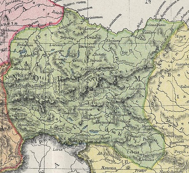
Deutsch: Karte der römischen Provinze Noricum.
English: Map of Roman province Noricum. |
| Date | circa 1907 |
| Source | Atlas of Ancient and Classical Geography, 1907 |
| Author | Atlas of Ancient and Classical Geography, 1907 |
| Camera location | | View this and other nearby images on: OpenStreetMap |
|---|
Licensing
|
This work is in the public domain in its country of origin and other countries and areas where the copyright term is the author's life plus 70 years or fewer. | |
| This file has been identified as being free of known restrictions under copyright law, including all related and neighboring rights. | |
File history
Click on a date/time to view the file as it appeared at that time.
| Date/Time | Thumbnail | Dimensions | User | Comment | |
|---|---|---|---|---|---|
| current | 22:02, 15 February 2011 | | 787 × 720 (242 KB) | Joadl | == {{int:filedesc}} == {{Information |Description= {{de|Karte der römischen Provinzen Noricum.}} {{en|Map of Roman provinces Noricum.}} |Date={{other date|ca|1907}} |Author=Atlas of Ancient and Classical Geography, 1907 |P |
File usage
The following pages on the English Wikipedia use this file (pages on other projects are not listed):
Global file usage
The following other wikis use this file:
- Usage on ast.wiki.x.io
- Usage on ca.wiki.x.io
- Usage on de.wiki.x.io
- Usage on es.wiki.x.io
- Usage on hu.wiki.x.io
- Usage on sl.wiki.x.io