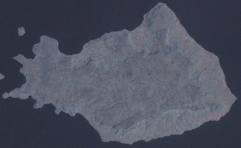
File:Mfangano Island OnEarth WMS.png
Appearance
Mfangano_Island_OnEarth_WMS.png (772 × 474 pixels, file size: 519 KB, MIME type: image/png)
File history
Click on a date/time to view the file as it appeared at that time.
| Date/Time | Thumbnail | Dimensions | User | Comment | |
|---|---|---|---|---|---|
| current | 21:13, 10 February 2007 |  | 772 × 474 (519 KB) | Hautala | Satellite image of Mfangano Island. Screenshot from NASA World Wind, OnEarth WMS global mosaic visual colour layer. Coordinates: worldwind://goto/world=Earth&lat=-0.46225&lon=34.00799&alt=21472 Category:Satellite pictures of Kenya [[Category:Lake V |
File usage
The following 2 pages use this file:
Global file usage
The following other wikis use this file:
- Usage on bg.wiki.x.io
- Usage on ceb.wiki.x.io
- Usage on de.wiki.x.io
- Usage on de.wikivoyage.org
- Usage on en.wikivoyage.org
- Usage on es.wiki.x.io
- Usage on fa.wiki.x.io
- Usage on fi.wiki.x.io
- Usage on fr.wiki.x.io
- Usage on fr.wikivoyage.org
- Usage on ha.wiki.x.io
- Usage on ja.wiki.x.io
- Usage on pt.wiki.x.io
- Usage on sl.wiki.x.io
- Usage on www.wikidata.org
- Usage on zh.wiki.x.io


