
File:Map of Beverly Grove, Los Angeles, California.png
Size of this preview: 800 × 557 pixels. Other resolutions: 320 × 223 pixels | 640 × 446 pixels | 879 × 612 pixels.
Original file (879 × 612 pixels, file size: 642 KB, MIME type: image/png)
| This is a file from the Wikimedia Commons. Information from its description page there is shown below. Commons is a freely licensed media file repository. You can help. |
Summary
| Description |
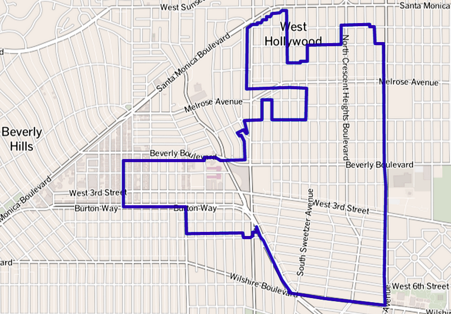
Map of the Beverly Grove neighborhood in Los Angeles, California. This map was created from OpenStreetMap project data, collected by the community. This map may be incomplete, and may contain errors. Don't rely solely on it for navigation. |
|||
| Date | 27 May 2013 (upload date) | |||
| Source | openstreetmap.org | |||
| Creator |
OpenStreetMap contributors (Boundary lines added by: The Los Angeles Times) OpenStreetMap contributors |
|||
| Permission (Reusing this file) |
OpenStreetMap data is available under the Open Database License (details). Map tiles are licensed under the Creative Commons Attribution-ShareAlike 2.0 license (CC-BY-SA 2.0).
This file is licensed under the Creative Commons Attribution-Share Alike 2.0 Generic license.
|
|||
| Georeferencing | If inappropriate please set warp_status = skip to hide. |
Original upload log
Transferred from en.wikipedia to Commons using For the Common Good.
The original description page was here. All following user names refer to en.wikipedia.
| Date/Time | Dimensions | User | Comment |
|---|---|---|---|
| 05:29, 27 May 2013 | 879 × 612 (656,960 bytes) | w:en:GeorgeLouis (talk | contribs) | (Uploading a file from a free published source using [[Wikipedia:File_Upload_Wizard|File Upload Wizard]]) |
File history
Click on a date/time to view the file as it appeared at that time.
| Date/Time | Thumbnail | Dimensions | User | Comment | |
|---|---|---|---|---|---|
| current | 22:05, 28 May 2013 | | 879 × 612 (642 KB) | ALH | Transferred from en.wikipedia: see original upload log above |
File usage
The following page uses this file:
Global file usage
The following other wikis use this file:
- Usage on fr.wiki.x.io
- Usage on www.wikidata.org