
File:Mallows Bay-Potomac River NMS water quality buoy map.PNG
Size of this preview: 463 × 600 pixels. Other resolutions: 185 × 240 pixels | 495 × 641 pixels.
Original file (495 × 641 pixels, file size: 742 KB, MIME type: image/png)
| This is a file from the Wikimedia Commons. Information from its description page there is shown below. Commons is a freely licensed media file repository. You can help. |
Summary
| Description |
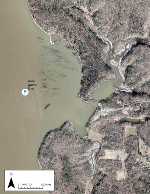
English: Location of a water quality w:buoy in the w:Mallows Bay–Potomac River National Marine Sanctuary in the w:Potomac River off w:Mallows Bay, w:Maryland |
| Date | Undated; buoy was moored in 2018 |
| Source | Mallows Bay–Potomac River National Marine Sanctuary Research and Monitoring Water Quality Buoy |
| Author | w:National Oceanic and Atmospheric Administration image |
Licensing
This image is in the public domain because it contains materials that originally came from the U.S. National Oceanic and Atmospheric Administration, taken or made as part of an employee's official duties.
|
File history
Click on a date/time to view the file as it appeared at that time.
| Date/Time | Thumbnail | Dimensions | User | Comment | |
|---|---|---|---|---|---|
| current | 19:59, 19 October 2024 | | 495 × 641 (742 KB) | Mdnavman | {{Information |Description = Location of a water quality buoy in the Mallows Bay–Potomac River National Marine Sanctuary in the Potomac River off Mallows Bay, Maryland |Source = [https://sanctuaries.noaa.gov/mallows-potomac/science/research/water-quality-buoy.html Mallows Bay–Potomac River National Marine Sanctuary Research and Monitoring Water Quality Buoy] |Date = Undated; buoy was moored in 2018 |Author = [[National Oceanic and Atmospher... |
File usage
The following 2 pages use this file: