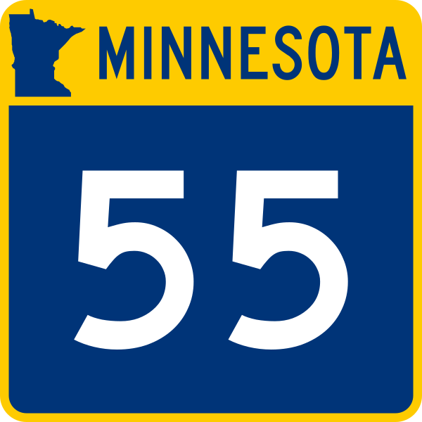
File:MN-55.svg
Appearance

Size of this PNG preview of this SVG file: 600 × 600 pixels. Other resolutions: 240 × 240 pixels | 480 × 480 pixels | 768 × 768 pixels | 1,024 × 1,024 pixels | 2,048 × 2,048 pixels.
Original file (SVG file, nominally 600 × 600 pixels, file size: 16 KB)
File history
Click on a date/time to view the file as it appeared at that time.
| Date/Time | Thumbnail | Dimensions | User | Comment | |
|---|---|---|---|---|---|
| current | 02:41, 12 April 2015 |  | 600 × 600 (16 KB) | Fredddie | |
| 04:21, 15 January 2007 |  | 500 × 500 (16 KB) | Master son | {{Information| |Description=Minnesota State Highway shield - Uses Type D Font unless too large (then use Type C) |Source=http://www.dot.state.mn.us/trafficeng/otepubl/mutcd/mnmutcd2005/MN%20MUTCD%202005%20Chapter%202D.pdf |Date=2007.1.14 |Author=[[User:Ma |
File usage
The following 66 pages use this file:
- Barrett, Minnesota
- Cedar Avenue
- County Road 122 (Hennepin County, Minnesota)
- County Road 61 (Hennepin County, Minnesota)
- County State-Aid Highway 42 (Minnesota)
- Dakota County, Minnesota
- Douglas County, Minnesota
- Grant County, Minnesota
- Hastings, Minnesota
- Hennepin County, Minnesota
- Interstate 35W (Minnesota)
- Interstate 494
- Interstate 94 in Minnesota
- Kandiyohi County, Minnesota
- List of bridges documented by the Historic American Engineering Record in Minnesota
- List of crossings of the Minnesota River
- List of highways numbered 55
- List of state highways in Minnesota
- Lyndale Avenue
- Meeker County, Minnesota
- Mendota Bridge
- Metro B Line (Minnesota)
- Metro Blue Line (Minnesota)
- Minneapolis–Saint Paul
- Minnesota State Highway 100
- Minnesota State Highway 101
- Minnesota State Highway 110
- Minnesota State Highway 114
- Minnesota State Highway 124
- Minnesota State Highway 13
- Minnesota State Highway 149
- Minnesota State Highway 15
- Minnesota State Highway 22
- Minnesota State Highway 23
- Minnesota State Highway 24
- Minnesota State Highway 25
- Minnesota State Highway 27
- Minnesota State Highway 28
- Minnesota State Highway 29
- Minnesota State Highway 3
- Minnesota State Highway 4
- Minnesota State Highway 49
- Minnesota State Highway 5
- Minnesota State Highway 54
- Minnesota State Highway 55
- Minnesota State Highway 56
- Minnesota State Highway 62 (Hennepin–Dakota counties)
- Minnesota State Highway 79
- Minnesota State Highway 9
- North Dakota Highway 11
- Pope County, Minnesota
- Stearns County, Minnesota
- Tenney, Minnesota
- U.S. Route 169 in Minnesota
- U.S. Route 52 in Minnesota
- U.S. Route 61 in Minnesota
- Wilkin County, Minnesota
- Wright County, Minnesota
- User:Morriswa/Clinched highways/State highways
- User:N. Paul Inast/sandbox2
- User:SpaceJunkie/Sandbox
- User:Theking17825/Sandbox6
- User:Vcap36/sandbox3
- Wikipedia:WikiProject U.S. Roads/Redirects/Minnesota
- Template:METRO Blue Line
- Template:Metro B Line
Global file usage
The following other wikis use this file:
- Usage on de.wiki.x.io
- Usage on en.wikivoyage.org
- Usage on es.wiki.x.io
- Usage on fr.wiki.x.io
- Usage on ja.wiki.x.io
- Usage on nl.wiki.x.io
- Usage on pl.wiki.x.io
- Usage on ro.wiki.x.io
- Usage on vi.wiki.x.io
- Usage on www.wikidata.org
- Usage on zh-min-nan.wiki.x.io

