
File:Location map Tijuana.png
Size of this preview: 674 × 599 pixels. Other resolutions: 270 × 240 pixels | 540 × 480 pixels | 823 × 732 pixels.
Original file (823 × 732 pixels, file size: 529 KB, MIME type: image/png)
| This is a file from the Wikimedia Commons. Information from its description page there is shown below. Commons is a freely licensed media file repository. You can help. |
Summary
| Description |
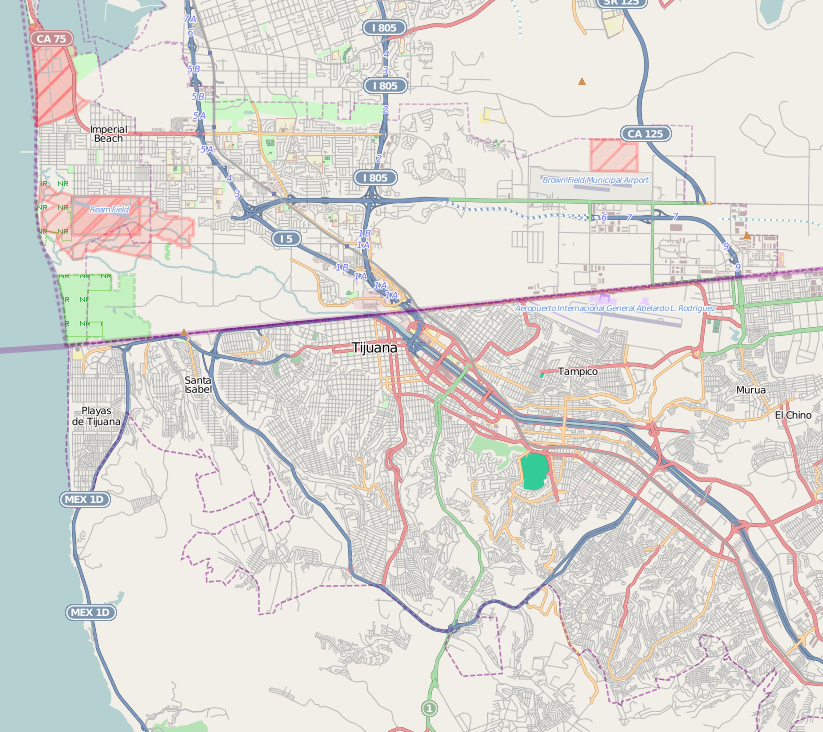
This map of Tijuana was created from OpenStreetMap project data, collected by the community. This map may be incomplete, and may contain errors. Don't rely solely on it for navigation. |
|||||||||
| Date | (see file history) | |||||||||
| Source | openstreetmap.org | |||||||||
| Creator |
OpenStreetMap contributors |
|||||||||
| Permission (Reusing this file) |
OpenStreetMap data and maps are licensed under the Creative Commons Attribution-ShareAlike 2.0 license (CC-BY-SA 2.0). This file is licensed under the Creative Commons Attribution-Share Alike 2.0 Generic license.
|
|||||||||
| Geotemporal data | ||||||||||
| Bounding box |
|
|||||||||
| Georeferencing | If inappropriate please set warp_status = skip to hide. | |||||||||
Licensing
This file is licensed under the Creative Commons Attribution 2.0 Generic license.
- You are free:
- to share – to copy, distribute and transmit the work
- to remix – to adapt the work
- Under the following conditions:
- attribution – You must give appropriate credit, provide a link to the license, and indicate if changes were made. You may do so in any reasonable manner, but not in any way that suggests the licensor endorses you or your use.
File history
Click on a date/time to view the file as it appeared at that time.
| Date/Time | Thumbnail | Dimensions | User | Comment | |
|---|---|---|---|---|---|
| current | 17:20, 7 April 2013 | | 823 × 732 (529 KB) | Keizers | User created page with UploadWizard |
File usage
The following pages on the English Wikipedia use this file (pages on other projects are not listed):
- Agua Caliente, Tijuana
- Cerro Colorado (borough)
- Cross Border Xpress
- Downtown Tijuana
- La Presa Este, Tijuana
- Oasis of Hope Hospital
- Otay Centenario
- Playas de Tijuana
- San Antonio de los Buenos
- Sánchez Taboada (borough)
- Tijuana International Airport
- Module:Location map/data/Mexico Tijuana
- Module:Location map/data/Mexico Tijuana/doc
Global file usage
The following other wikis use this file:
- Usage on ar.wiki.x.io
- Usage on ceb.wiki.x.io
- Usage on fa.wiki.x.io
- Usage on fr.wiki.x.io
- Usage on hu.wiki.x.io
- Usage on it.wiki.x.io
- Usage on kn.wiki.x.io
- Usage on ko.wiki.x.io
- Usage on si.wiki.x.io
- Usage on tr.wiki.x.io
- Usage on vep.wiki.x.io
- Usage on war.wiki.x.io
- Usage on zh.wiki.x.io