
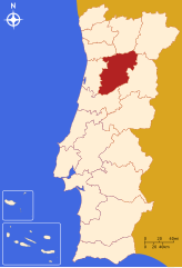
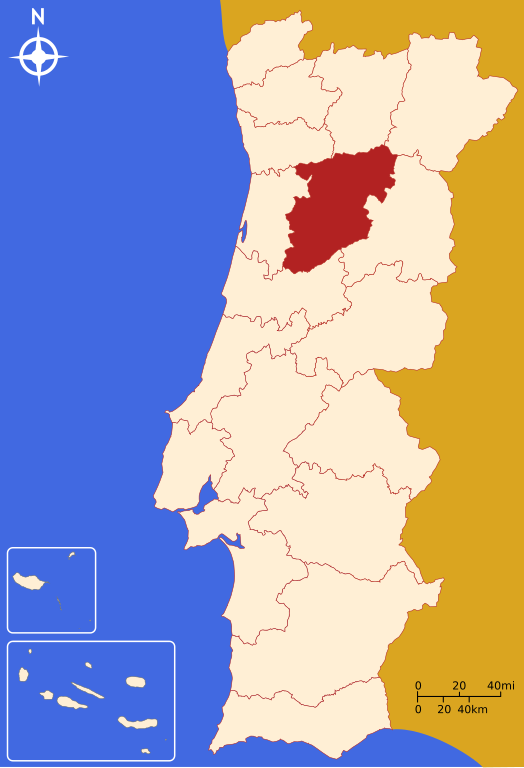
File:LocalDistritoViseu.svg

Size of this PNG preview of this SVG file: 250 × 366 pixels. Other resolutions: 164 × 240 pixels | 328 × 480 pixels | 524 × 768 pixels | 699 × 1,024 pixels | 1,399 × 2,048 pixels.
Original file (SVG file, nominally 250 × 366 pixels, file size: 216 KB)
| This is a file from the Wikimedia Commons. Information from its description page there is shown below. Commons is a freely licensed media file repository. You can help. |
Summary
| Description |
Português: Imagem criada por Rei-artur, em Janeiro de 2005, a partir do mapa Image:Mapa de Portugal completo. |
| Date | |
| Source | Own work |
| Author |
Licensing
I, the copyright holder of this work, hereby publish it under the following licenses:

|
Permission is granted to copy, distribute and/or modify this document under the terms of the GNU Free Documentation License, Version 1.2 or any later version published by the Free Software Foundation; with no Invariant Sections, no Front-Cover Texts, and no Back-Cover Texts. A copy of the license is included in the section entitled GNU Free Documentation License. |
| This file is licensed under the Creative Commons Attribution-Share Alike 3.0 Unported license. | ||
| ||
| This licensing tag was added to this file as part of the GFDL licensing update. |
This file is licensed under the Creative Commons Attribution 2.5 Generic license.
- You are free:
- to share – to copy, distribute and transmit the work
- to remix – to adapt the work
- Under the following conditions:
- attribution – You must give appropriate credit, provide a link to the license, and indicate if changes were made. You may do so in any reasonable manner, but not in any way that suggests the licensor endorses you or your use.
You may select the license of your choice.
File history
Click on a date/time to view the file as it appeared at that time.
| Date/Time | Thumbnail | Dimensions | User | Comment | |
|---|---|---|---|---|---|
| current | 18:52, 5 January 2006 | | 250 × 366 (216 KB) | Rei-artur | == Descrição do ficheiro == Imagem criada por '''Rei-artur''', em Janeiro de 2005, a partir do mapa Image:Mapa de Portugal completo. {{User:Rei-artur/by}} Category:Maps of districts in Portugal == Licensing == {{self2|GFDL| |
File usage
The following pages on the English Wikipedia use this file (pages on other projects are not listed):
Global file usage
The following other wikis use this file:
- Usage on an.wiki.x.io
- Usage on br.wiki.x.io
- Usage on de.wiki.x.io
- Lamego
- Armamar
- Cinfães
- Carregal do Sal
- Viseu (Portugal)
- Castro Daire
- Vouzela
- Santa Comba Dão
- Resende (Viseu)
- Mangualde
- Moimenta da Beira
- Tabuaço
- Tarouca
- Tondela
- Vila Nova de Paiva
- Sátão
- Sernancelhe
- Penalva do Castelo
- Penedono
- São João da Pesqueira
- São Pedro do Sul
- Nelas
- Mortágua
- Oliveira de Frades
- Vorlage:Navigationsleiste Kreise im Distrikt Viseu
- Vorlage:Navigationsleiste Wappen im Distrikt Viseu
- Liste der Wappen in Tabuaço
- Usage on fa.wiki.x.io
- Usage on frr.wiki.x.io
- Usage on fr.wiki.x.io
- Usage on id.wiki.x.io
- Usage on it.wiki.x.io
- Usage on it.wikivoyage.org
- Usage on ja.wiki.x.io
- Usage on ko.wiki.x.io
- Usage on la.wiki.x.io
- Usage on lt.wiki.x.io
- Usage on ms.wiki.x.io
- Usage on mwl.wiki.x.io
- Usage on no.wiki.x.io
- Usage on pl.wiki.x.io
- Usage on pt.wiki.x.io
- Usage on qu.wiki.x.io
- Usage on ro.wiki.x.io
- Usage on ru.wiki.x.io
View more global usage of this file.