
File:Leeds UK locator map.svg

Size of this PNG preview of this SVG file: 800 × 583 pixels. Other resolutions: 320 × 233 pixels | 640 × 467 pixels | 1,024 × 747 pixels | 1,280 × 933 pixels | 2,560 × 1,867 pixels | 1,425 × 1,039 pixels.
Original file (SVG file, nominally 1,425 × 1,039 pixels, file size: 765 KB)
| This is a file from the Wikimedia Commons. Information from its description page there is shown below. Commons is a freely licensed media file repository. You can help. |
| Description |
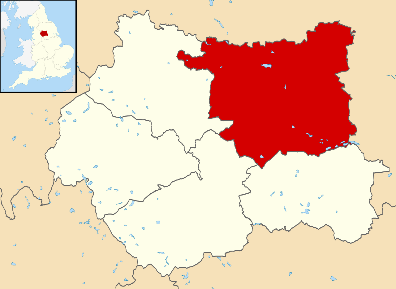
Map of West Yorkshire, UK with Leeds highlighted. Equirectangular map projection on WGS 84 datum, with N/S stretched 165% |
| Date | |
| Source | Ordnance Survey OpenData. Most data from Boundary-Line product. Lake data from Meridian 2 product. Inset derived from England location map.svg by Spischot. |
| Author | Nilfanion, created using Ordnance Survey data |
| Permission (Reusing this file) |
This file is licensed under the Creative Commons Attribution-Share Alike 3.0 Unported license. Attribution: Contains Ordnance Survey data © Crown copyright and database right
|
File history
Click on a date/time to view the file as it appeared at that time.
| Date/Time | Thumbnail | Dimensions | User | Comment | |
|---|---|---|---|---|---|
| current | 21:01, 1 September 2013 | | 1,425 × 1,039 (765 KB) | Nilfanion | {{Information |Description=Map of West Yorkshire, UK with Leeds highlighted. Equirectangular map projection on WGS 84 datum, with N/S stretched 165% |Source=Ordnance Survey [https://www.ordnancesurvey.co.uk/o... |
File usage
The following pages on the English Wikipedia use this file (pages on other projects are not listed):
Global file usage
The following other wikis use this file:
- Usage on azb.wiki.x.io
- Usage on bg.wiki.x.io
- Usage on bn.wiki.x.io
- Usage on bs.wiki.x.io
- Usage on cy.wiki.x.io
- Usage on fa.wiki.x.io
- Usage on fi.wiki.x.io
- Usage on fr.wiki.x.io
- Usage on gu.wiki.x.io
- Usage on ja.wiki.x.io
- Usage on ko.wiki.x.io
- Usage on ml.wiki.x.io
- Usage on nl.wiki.x.io
- Usage on nn.wiki.x.io
- Usage on no.wiki.x.io
- Usage on pa.wiki.x.io
- Usage on pl.wiki.x.io
- Usage on pl.wikivoyage.org
- Usage on ps.wiki.x.io
- Usage on ru.wiki.x.io
- Usage on sco.wiki.x.io
- Usage on sc.wiki.x.io
- Usage on sh.wiki.x.io
- Usage on sl.wiki.x.io
- Usage on sv.wiki.x.io
- Usage on th.wiki.x.io
- Usage on ur.wiki.x.io
- Usage on www.wikidata.org
- Usage on yi.wiki.x.io
- Usage on zh-min-nan.wiki.x.io
- Usage on zh-yue.wiki.x.io
- Usage on zh.wiki.x.io