
File:Islands off the Croatian Coast.jpg
Size of this preview: 600 × 600 pixels. Other resolutions: 240 × 240 pixels | 480 × 480 pixels | 768 × 768 pixels | 1,024 × 1,024 pixels | 2,048 × 2,048 pixels | 4,000 × 4,000 pixels.
Original file (4,000 × 4,000 pixels, file size: 4.59 MB, MIME type: image/jpeg)
| This is a file from the Wikimedia Commons. Information from its description page there is shown below. Commons is a freely licensed media file repository. You can help. |
Summary
| Description |
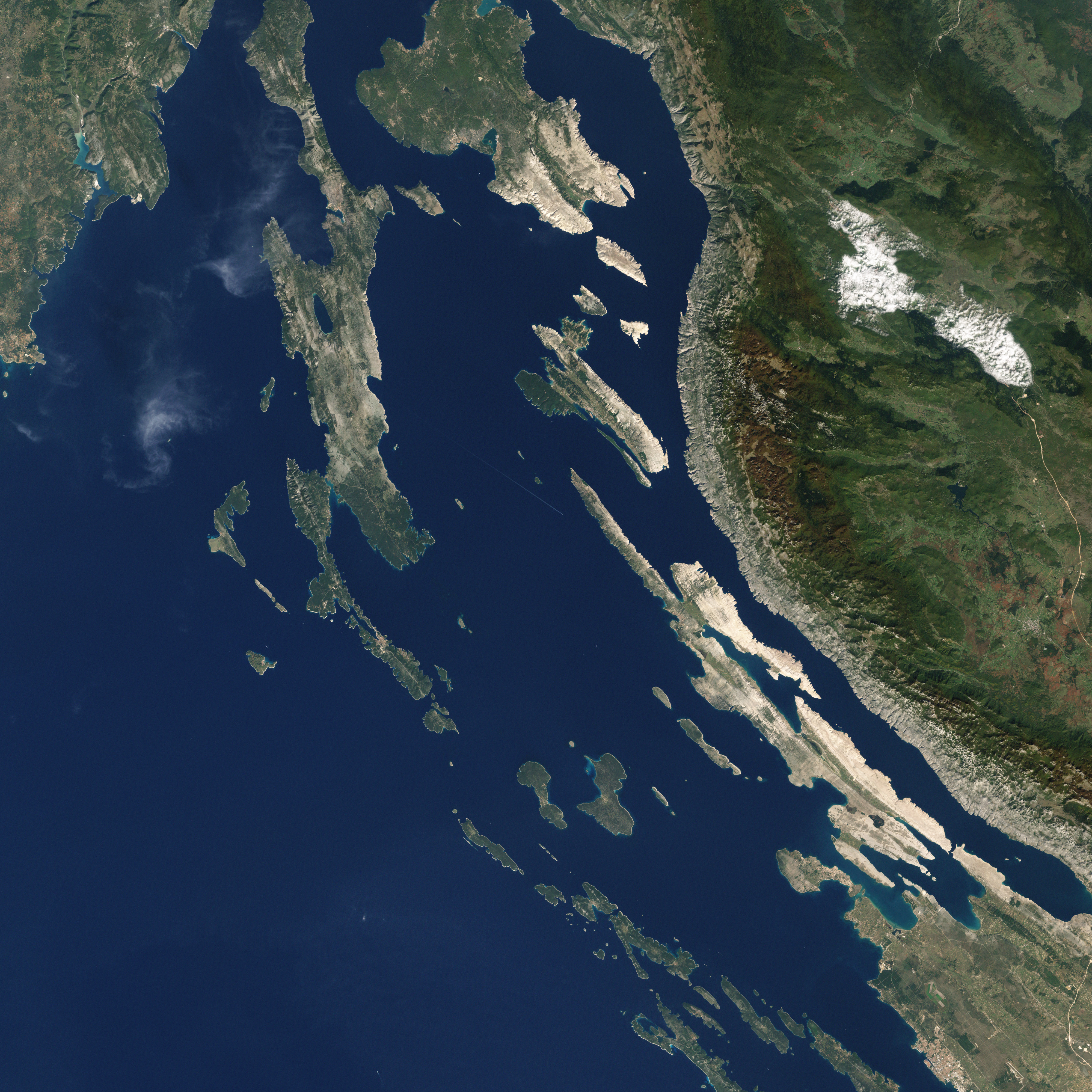
English: This picture shows some of the Croatian Islands in the Adriatic Sea. Image captured by the Enhanced Thematic Mapper (ETM) on NASA’s Landsat 7 satellite. Landsat data provided by the United States Geological Survey. |
| Date | |
| Source | NASA Earth Observatory |
| Author | Jesse Allen and Robert Simmon |
| Other versions |

.jpg)


.jpg)
_and_Tun_Veli.jpg)
.jpg)
.jpg)
.jpg)
.jpg)
.jpg)
Licensing
| This file is in the public domain in the United States because it was solely created by NASA. NASA copyright policy states that "NASA material is not protected by copyright unless noted". (See Template:PD-USGov, NASA copyright policy page or JPL Image Use Policy.) | ||
 |
Warnings:
|
| Annotations | This image is annotated: View the annotations at Commons |
File history
Click on a date/time to view the file as it appeared at that time.
| Date/Time | Thumbnail | Dimensions | User | Comment | |
|---|---|---|---|---|---|
| current | 14:09, 18 April 2011 | | 4,000 × 4,000 (4.59 MB) | Originalwana |
File usage
No pages on the English Wikipedia use this file (pages on other projects are not listed).
Global file usage
The following other wikis use this file:
- Usage on mk.wiki.x.io
- Usage on sr.wiki.x.io
- Usage on uk.wiki.x.io