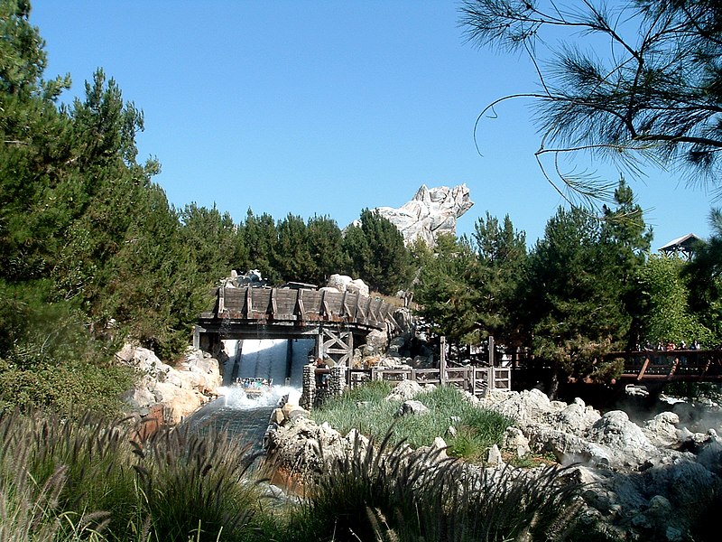
File:Grizzly River Geysers.JPG
Appearance

Size of this preview: 800 × 600 pixels. Other resolutions: 320 × 240 pixels | 640 × 480 pixels | 1,024 × 768 pixels | 1,280 × 960 pixels | 1,600 × 1,200 pixels.
Original file (1,600 × 1,200 pixels, file size: 943 KB, MIME type: image/jpeg)
File history
Click on a date/time to view the file as it appeared at that time.
| Date/Time | Thumbnail | Dimensions | User | Comment | |
|---|---|---|---|---|---|
| current | 04:35, 4 January 2009 |  | 1,600 × 1,200 (943 KB) | SolarSurfer | {{Information |Description={{en|1=The End of The Grizzly River Run Attraction}} |Source=Own work |Author=SolarSurfer |Date= |Permission= |other_versions= }} <!--{{ImageUpload|full}}--> |
File usage
The following pages on the English Wikipedia use this file (pages on other projects are not listed):
Global file usage
The following other wikis use this file:
- Usage on ast.wiki.x.io
- Usage on es.wiki.x.io
- Usage on fr.wiki.x.io
- Usage on nl.wiki.x.io
