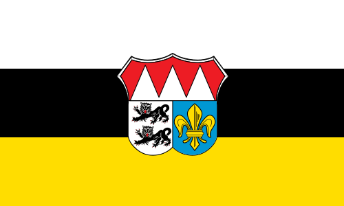
File:Flagge Landkreis Würzburg.svg
Appearance

Size of this PNG preview of this SVG file: 500 × 300 pixels. Other resolutions: 320 × 192 pixels | 640 × 384 pixels | 1,024 × 614 pixels | 1,280 × 768 pixels | 2,560 × 1,536 pixels.
Original file (SVG file, nominally 500 × 300 pixels, file size: 76 KB)
File history
Click on a date/time to view the file as it appeared at that time.
| Date/Time | Thumbnail | Dimensions | User | Comment | |
|---|---|---|---|---|---|
| current | 04:57, 22 April 2021 |  | 500 × 300 (76 KB) | SpinnerLaserzthe2nd | Uploaded a work by Unknown from https://www.koenigsbanner.de/967900000-landkreiswrzburg/10200-wu-landkreis-wurzburg.html with UploadWizard |
File usage
The following 2 pages use this file:
Global file usage
The following other wikis use this file:
- Usage on cs.wiki.x.io
- Usage on es.wiki.x.io
- Usage on he.wiki.x.io
- Usage on hu.wiki.x.io
- Usage on hy.wiki.x.io
- Usage on it.wiki.x.io
- Usage on ku.wiki.x.io
- Usage on la.wiki.x.io
- Usage on lld.wiki.x.io
- Usage on ms.wiki.x.io
- Usage on nds.wiki.x.io
- Usage on nl.wiki.x.io
- Usage on pl.wiki.x.io
- Usage on ro.wiki.x.io
- Würzburg (district)
- Eibelstadt
- Aub
- Frickenhausen am Main
- Gaukönigshofen
- Gelchsheim
- Geroldshausen
- Giebelstadt
- Greußenheim
- Güntersleben
- Hausen bei Würzburg
- Helmstadt
- Hettstadt
- Kürnach
- Rimpar
- Ortolangebiete um Erlach und Ochsenfurt
- Unterfränkisches Taubertal und Laubwälder nördlich Röttingen
- Irtenberger und Guttenberger Wald
- Laubwälder um Würzburg
- Mainaue zwischen Grafenrheinfeld und Kitzingen
- Maintalhänge zwischen Gambach und Veitshöchheim
- Mausohrwochenstuben im Maindreieck
- Naturschutzgebiet 'Trockenhänge bei Böttigheim'
- Stöckach, Lindach und Herrenwald
- Tauber- und Gollachtal bei Bieberehren
- Trockenstandorte um Leinach
- Trockentalhänge im südlichen Maindreieck
- Zellinger Gemeindewald
- Gramschatzer Wald
- Prosselsheimer Holz
- Usage on ru.wiki.x.io
- Usage on simple.wiki.x.io
- Usage on vec.wiki.x.io
- Usage on www.wikidata.org

