
File:Dublin area (Ireland) map from late 19th century postcard.jpg
Size of this preview: 448 × 599 pixels. Other resolutions: 179 × 240 pixels | 359 × 480 pixels | 778 × 1,040 pixels.
Original file (778 × 1,040 pixels, file size: 654 KB, MIME type: image/jpeg)
| This is a file from the Wikimedia Commons. Information from its description page there is shown below. Commons is a freely licensed media file repository. You can help. |
_map_from_late_19th_century_postcard.jpg)
Summary
| Description |
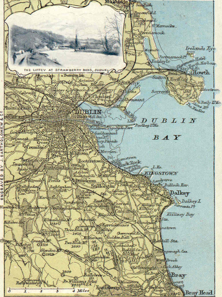
English: Dublin area, Ireland - postcard map showing the bulk of the middle and south county, including railways and other links, with an inset of the Strawberry Beds along the Liffey. |
| Date | Late 19th century |
| Source | Postcard in family album |
| Author | Anonymous employee of Bartholomew |
| Permission (Reusing this file) |
Own scan of PD work, freely reuseable. |
Licensing
|
This work is in the public domain in its country of origin and other countries and areas where the copyright term is the author's life plus 70 years or fewer. | |
| This file has been identified as being free of known restrictions under copyright law, including all related and neighboring rights. | |
File history
Click on a date/time to view the file as it appeared at that time.
| Date/Time | Thumbnail | Dimensions | User | Comment | |
|---|---|---|---|---|---|
| current | 09:25, 5 August 2009 | | 778 × 1,040 (654 KB) | CartesPostalesDub | {{Information |Description={{en|1=Dublin area, Ireland - postcard map showing the bulk of the county, including railways and other links.}} |Source=Postcard in family album |Author=Anonymous employee of Bartholomew |Date=Late 19th century |Permission=Own |
File usage
The following pages on the English Wikipedia use this file (pages on other projects are not listed):
Global file usage
The following other wikis use this file:
- Usage on fy.wiki.x.io
- Usage on nl.wiki.x.io
_map_from_late_19th_century_postcard.jpg)