
File:Carte Autoroute A11.svg

Size of this PNG preview of this SVG file: 600 × 600 pixels. Other resolutions: 240 × 240 pixels | 480 × 480 pixels | 768 × 768 pixels | 1,024 × 1,024 pixels | 2,048 × 2,048 pixels | 2,000 × 2,000 pixels.
Original file (SVG file, nominally 2,000 × 2,000 pixels, file size: 254 KB)
| This is a file from the Wikimedia Commons. Information from its description page there is shown below. Commons is a freely licensed media file repository. You can help. |
Summary
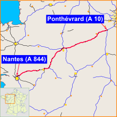
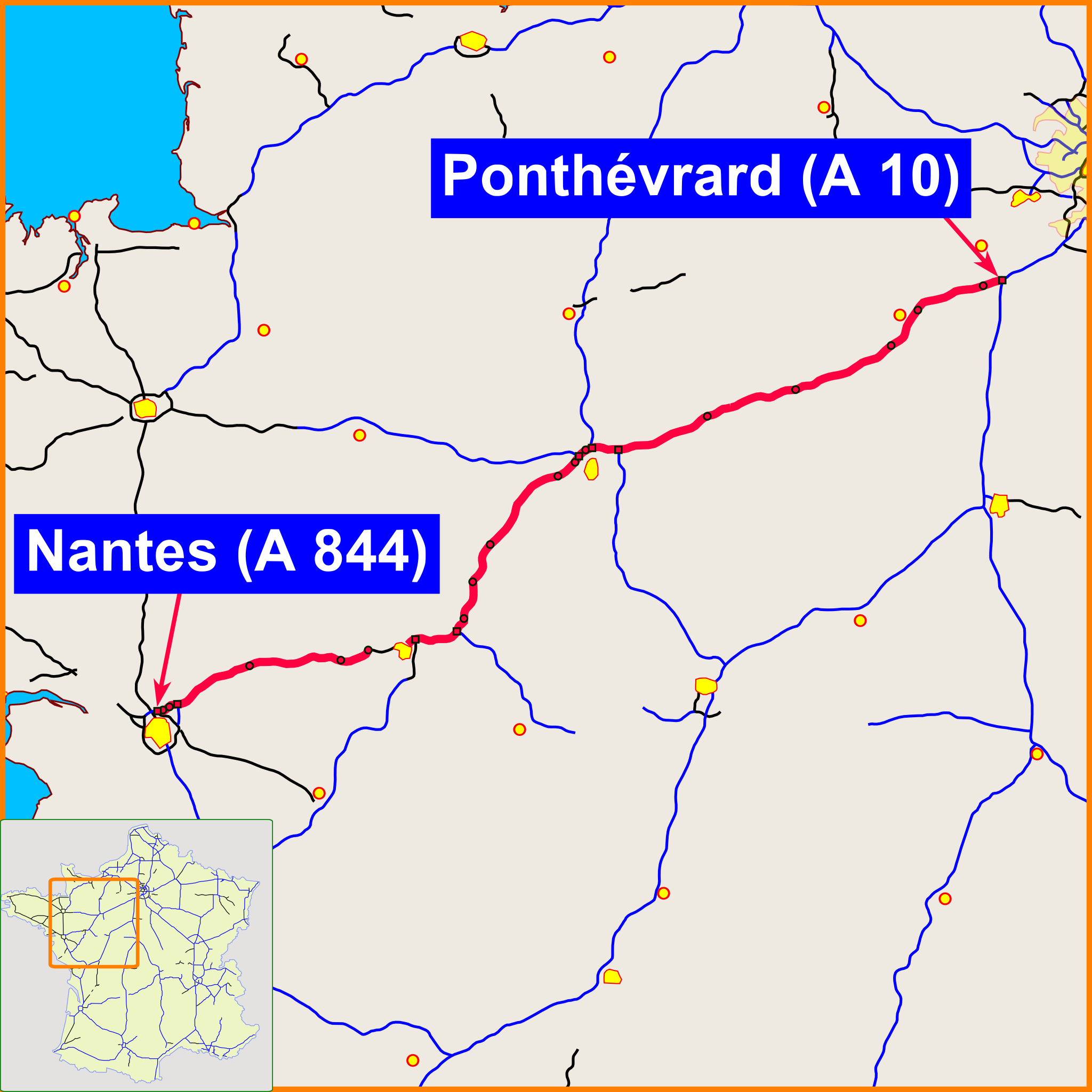
| Description | This is a map showing trace of French A10 motorway. Author: madcap |
| Date | 28 February 2007 (original upload date) |
| Source | No machine-readable source provided. Own work assumed (based on copyright claims). |
| Author | No machine-readable author provided. Madcap assumed (based on copyright claims). |
Licensing
| I, the copyright holder of this work, release this work into the public domain. This applies worldwide. In some countries this may not be legally possible; if so: I grant anyone the right to use this work for any purpose, without any conditions, unless such conditions are required by law. |
File history
Click on a date/time to view the file as it appeared at that time.
| Date/Time | Thumbnail | Dimensions | User | Comment | |
|---|---|---|---|---|---|
| current | 23:58, 28 February 2007 | | 2,000 × 2,000 (254 KB) | Madcap | == Summary == This is a map showing trace of French A10 motorway. Author: madcap == Licensing == {{PD-self}} 011 |
File usage
The following pages on the English Wikipedia use this file (pages on other projects are not listed):
Global file usage
The following other wikis use this file:
- Usage on cs.wiki.x.io
- Usage on de.wiki.x.io
- Usage on fr.wiki.x.io
- Usage on it.wiki.x.io
- Usage on ja.wiki.x.io
- Usage on lmo.wiki.x.io
- Usage on nl.wiki.x.io
- Usage on pl.wiki.x.io
- Usage on simple.wiki.x.io
- Usage on uk.wiki.x.io
- Usage on www.wikidata.org
- Usage on zh.wiki.x.io