
File:Candelaria,Quezonjf1680 13.JPG

Size of this preview: 800 × 600 pixels. Other resolutions: 320 × 240 pixels | 640 × 480 pixels | 1,024 × 768 pixels | 1,280 × 960 pixels | 2,560 × 1,920 pixels | 4,608 × 3,456 pixels.
Original file (4,608 × 3,456 pixels, file size: 6.58 MB, MIME type: image/jpeg)
| This is a file from the Wikimedia Commons. Information from its description page there is shown below. Commons is a freely licensed media file repository. You can help. |
Summary
| Description |
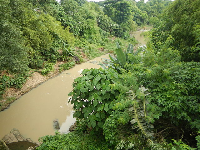
English: HIghway Boundary MSR Candelaria Section Km 102 + 462 - Km 111 + 048 & Taguan Bridge, Km 102 + 450[1] Coordinates: 13°55'54"N 121°23'40"E & River Pan-Philippine Highway Barangay Bukal Sur, Bridge and River --- Candelaria, Quezon [2] The Municipality of Candelaria (Filipino: Bayan ng Candelaria) is a first class municipality in the province of Quezon[3], Philippines - 2010 census, it has a population of 110,570 traversed by the Maharlika Highway with a total area of 175 km².Website [4] Geographical location: Quezon, Region 4, Philippines, Asia Geographical coordinates: 13° 55' 52" North, 121° 25' 24" East This place is situated in Quezon, Region 4, Philippines, its geographical coordinates are 13° 55' 52" North, 121° 25' 24" East and its original name (with diacritics) is Candelaria. |
| Date | |
| Source | Own work |
| Author | Ramon FVelasquez |
Licensing
I, the copyright holder of this work, hereby publish it under the following license:
This file is licensed under the Creative Commons Attribution-Share Alike 3.0 Unported license.
- You are free:
- to share – to copy, distribute and transmit the work
- to remix – to adapt the work
- Under the following conditions:
- attribution – You must give appropriate credit, provide a link to the license, and indicate if changes were made. You may do so in any reasonable manner, but not in any way that suggests the licensor endorses you or your use.
- share alike – If you remix, transform, or build upon the material, you must distribute your contributions under the same or compatible license as the original.
File history
Click on a date/time to view the file as it appeared at that time.
| Date/Time | Thumbnail | Dimensions | User | Comment | |
|---|---|---|---|---|---|
| current | 12:49, 29 July 2013 | | 4,608 × 3,456 (6.58 MB) | Ramon FVelasquez | User created page with UploadWizard |
File usage
The following page uses this file: