
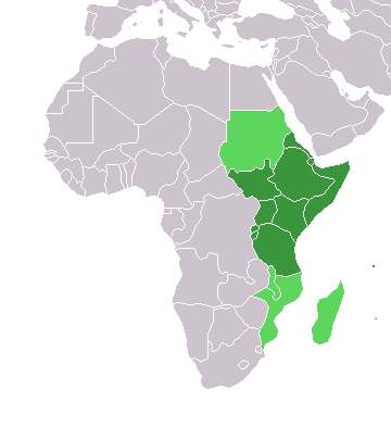
File:Africa-countries-eastern.png
No higher resolution available.
Africa-countries-eastern.png (360 × 392 pixels, file size: 10 KB, MIME type: image/png)
| This is a file from the Wikimedia Commons. Information from its description page there is shown below. Commons is a freely licensed media file repository. You can help. |

|
File:Africa-countries-eastern.svg is a vector version of this file. It should be used in place of this PNG file when not inferior.
File:Africa-countries-eastern.png → File:Africa-countries-eastern.svg
For more information, see Help:SVG. |
 |
from en:Image:Africa-countries-eastern.png
This map was originally made by w:en:User:Joy on 01:28, 28 March 2004 who created it from the blank maps.

|
Permission is granted to copy, distribute and/or modify this document under the terms of the GNU Free Documentation License, Version 1.2 or any later version published by the Free Software Foundation; with no Invariant Sections, no Front-Cover Texts, and no Back-Cover Texts. A copy of the license is included in the section entitled GNU Free Documentation License. |
| This file is licensed under the Creative Commons Attribution-Share Alike 3.0 Unported license. | ||
| ||
| This licensing tag was added to this file as part of the GFDL licensing update. |
File history
Click on a date/time to view the file as it appeared at that time.
| Date/Time | Thumbnail | Dimensions | User | Comment | |
|---|---|---|---|---|---|
| current | 19:08, 17 March 2018 | | 360 × 392 (10 KB) | Maphobbyist | Upload |
| 17:42, 13 January 2014 |  | 360 × 392 (10 KB) | VVVF | See http://unstats.un.org/unsd/methods/m49/m49regin.htm | |
| 16:18, 13 January 2014 |  | 360 × 392 (10 KB) | VVVF | See http://unstats.un.org/unsd/methods/m49/m49regin.htm | |
| 17:06, 9 July 2011 |  | 360 × 392 (13 KB) | Maphobbyist | South Sudan has become independent on July 9, 2011. Sudan and South Sudan are shown with the new international border between them. | |
| 21:34, 31 March 2011 |  | 360 × 392 (13 KB) | Hoshie | added Cabinda (Angola) and Montenengro to the map. | |
| 11:12, 5 May 2006 |  | 360 × 392 (4 KB) | Hautala | optimized with png | |
| 18:28, 29 April 2005 |  | 360 × 392 (13 KB) | ChongDae | from en:Image:Africa-countries-eastern.png {{GFDL}} Category:Map of Africa |
File usage
The following pages on the English Wikipedia use this file (pages on other projects are not listed):
Global file usage
The following other wikis use this file:
- Usage on af.wiki.x.io
- Usage on ar.wiki.x.io
- Usage on azb.wiki.x.io
- Usage on az.wiki.x.io
- Usage on bg.wiki.x.io
- Usage on bm.wiki.x.io
- Usage on br.wiki.x.io
- Usage on cs.wiki.x.io
- Usage on cv.wiki.x.io
- Usage on es.wiki.x.io
- Usage on eu.wiki.x.io
- Usage on fr.wiki.x.io
- Usage on he.wiki.x.io
- Usage on hy.wiki.x.io
- Usage on id.wiki.x.io
- Usage on incubator.wikimedia.org
- Usage on is.wiki.x.io
- Usage on it.wiki.x.io
- Usage on jv.wiki.x.io
- Usage on kaa.wiki.x.io
- Usage on kbd.wiki.x.io
- Usage on kg.wiki.x.io
- Usage on kk.wiki.x.io
View more global usage of this file.