File:Administrative division of denmark in medieval times.jpg
Appearance

Size of this preview: 800 × 583 pixels. Other resolutions: 320 × 233 pixels | 640 × 466 pixels | 1,024 × 746 pixels | 1,280 × 932 pixels | 2,560 × 1,865 pixels | 5,952 × 4,336 pixels.
Original file (5,952 × 4,336 pixels, file size: 15.8 MB, MIME type: image/jpeg)
File history
Click on a date/time to view the file as it appeared at that time.
| Date/Time | Thumbnail | Dimensions | User | Comment | |
|---|---|---|---|---|---|
| current | 16:30, 12 June 2019 |  | 5,952 × 4,336 (15.8 MB) | Aeroid | removed vertical lines, straight, slight color change |
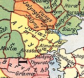
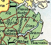
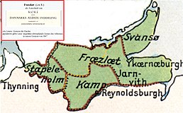
| 05:36, 19 June 2005 |  | 5,952 × 4,336 (16.87 MB) | Heelgrasper | Administrative division of Denmark in Medieval times. The different colors indicate the division in "sysler" in Jutland while the red lines indicate borders between "herreder" (counties). Dotted red lines indicate never borders. The map is made by profes |
File usage
The following 8 pages use this file:
Global file usage
The following other wikis use this file:
- Usage on cs.wiki.x.io
- Usage on da.wiki.x.io
- Usage on de.wiki.x.io
- Usage on eo.wiki.x.io
- Usage on es.wiki.x.io
- Usage on et.wiki.x.io
- Usage on fi.wiki.x.io
- Usage on frr.wiki.x.io
- Usage on fr.wiki.x.io
- Usage on he.wiki.x.io
- Usage on hu.wiki.x.io
- Usage on id.wiki.x.io
- Usage on it.wiki.x.io
- Usage on ko.wiki.x.io
- Usage on la.wiki.x.io
- Usage on nds.wiki.x.io
- Usage on nl.wiki.x.io
- Usage on no.wiki.x.io
View more global usage of this file.


