File:14-08-12-helsinki-RalfR-N3S 0439-069.jpg
Page contents not supported in other languages.
Tools
Actions
General
In other projects
Appearance
Size of this preview: 398 × 599 pixels. Other resolutions: 159 × 240 pixels | 319 × 480 pixels | 510 × 768 pixels | 680 × 1,024 pixels | 1,360 × 2,048 pixels | 2,848 × 4,288 pixels.
Original file (2,848 × 4,288 pixels, file size: 5.14 MB, MIME type: image/jpeg)
This is a file from the Wikimedia Commons. Information from its description page there is shown below. Commons is a freely licensed media file repository. You can help. |
Summary
Description14-08-12-helsinki-RalfR-N3S 0439-069.jpg |
Deutsch: Helsinki Hauptbahnhof
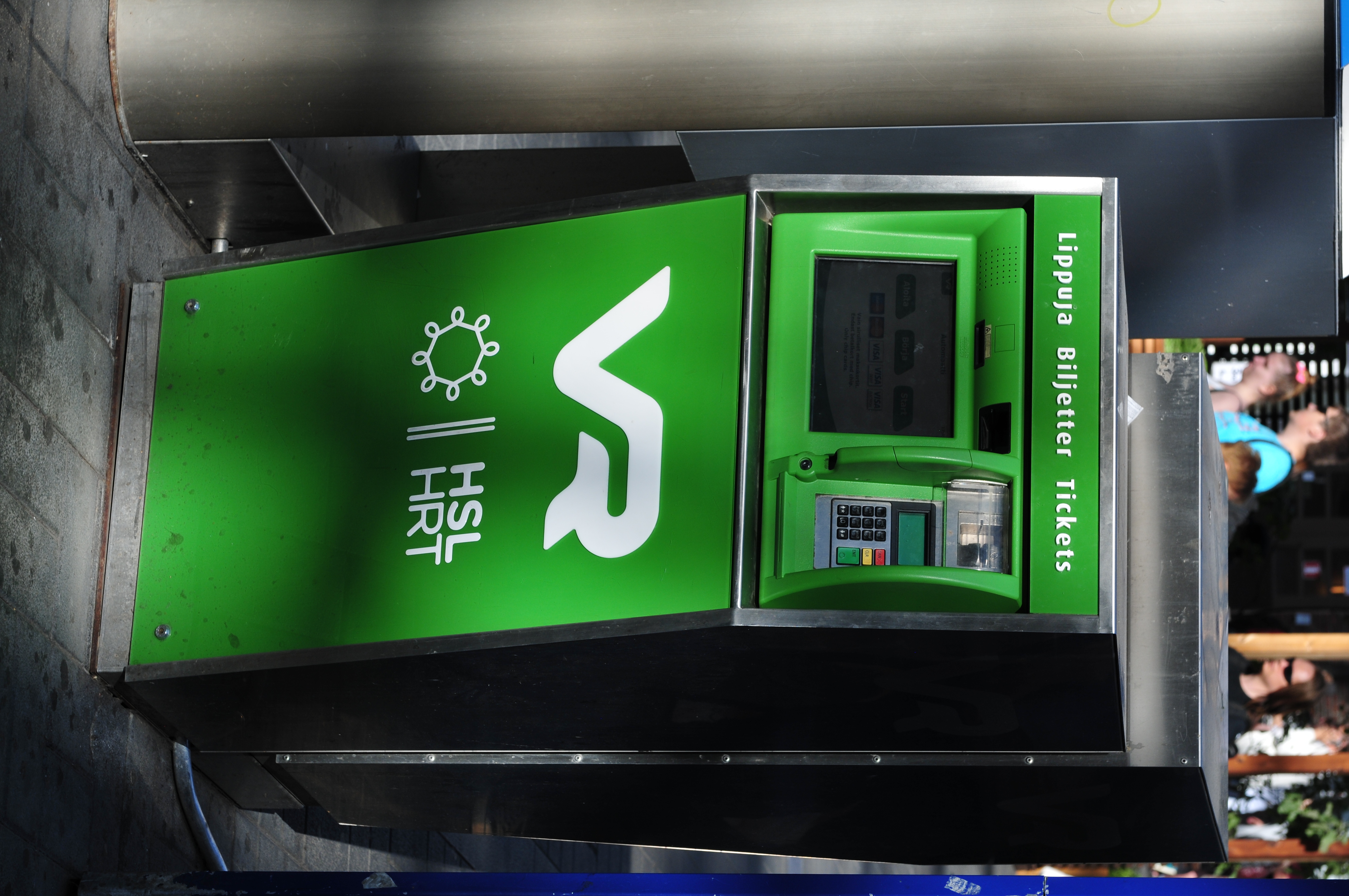
English: A VR ticket machine at Helsinki Central railway station
Suomi: VR:n lippuautomaatti Helsingin päärautatieasemalla
|
|||||||||||||||||||||||
Date | ||||||||||||||||||||||||
Source | Own work | |||||||||||||||||||||||
Author |
creator QS:P170,Q15080600
|
|||||||||||||||||||||||
Permission (Reusing this file) |
creator QS:P170,Q15080600 |
Camera location | 60° 10′ 16.74″ N, 24° 56′ 28.38″ E | View this and other nearby images on: OpenStreetMap | 60.171318; 24.941217 |
---|
Licensing
Permission is granted to copy, distribute and/or modify this document under the terms of the GNU Free Documentation License, Version 1.2 only as published by the Free Software Foundation; with no Invariant Sections, no Front-Cover Texts, and no Back-Cover Texts. A copy of the license is included in the section entitled GNU Free Documentation License. | 1.2 onlyhttp://www.gnu.org/licenses/old-licenses/fdl-1.2.htmlGFDL 1.2GNU Free Documentation License 1.2truetrue |
Items portrayed in this file
depicts
12 August 2014
60°10'16.7459999"N, 24°56'28.3800001"E
0.005 second
7.1
70 millimetre
200
image/jpeg
734a09e12d49dc742b0405c56683ef8ab4f16374
5,392,804 byte
4,288 pixel
2,848 pixel
File history
Click on a date/time to view the file as it appeared at that time.
Date/Time | Thumbnail | Dimensions | User | Comment | |
---|---|---|---|---|---|
current | 10:44, 6 December 2014 | 2,848 × 4,288 (5.14 MB) | Ralf Roletschek |
File usage
The following page uses this file:
Metadata
This file contains additional information, probably added from the digital camera or scanner used to create or digitize it.
If the file has been modified from its original state, some details may not fully reflect the modified file.
Camera manufacturer | NIKON CORPORATION |
---|---|
Camera model | NIKON D300S |
Author | Ralf Roletschek |
Copyright holder | (C) Ralf Roletschek |
Exposure time | 1/200 sec (0.005) |
F-number | f/7.1 |
ISO speed rating | 200 |
Date and time of data generation | 15:45, 12 August 2014 |
Lens focal length | 70 mm |
User comments | Foto by Marcela |
Latitude | 60° 10′ 16.75″ N |
Longitude | 24° 56′ 28.38″ E |
Altitude | 19 meters above sea level |
Orientation | Rotated 90° CW |
Horizontal resolution | 300 dpi |
Vertical resolution | 300 dpi |
Software used | Ver.1.01 |
File change date and time | 15:45, 12 August 2014 |
Y and C positioning | Co-sited |
Exposure Program | Normal program |
Exif version | 2.21 |
Date and time of digitizing | 15:45, 12 August 2014 |
Meaning of each component |
|
Image compression mode | 4 |
Exposure bias | 0 |
Maximum land aperture | 3 APEX (f/2.83) |
Metering mode | Center weighted average |
Light source | Unknown |
Flash | Flash did not fire |
DateTime subseconds | 58 |
DateTimeOriginal subseconds | 58 |
DateTimeDigitized subseconds | 58 |
Supported Flashpix version | 1 |
Color space | sRGB |
Sensing method | One-chip color area sensor |
File source | Digital still camera |
Scene type | A directly photographed image |
Custom image processing | Normal process |
Exposure mode | Auto exposure |
White balance | Auto white balance |
Digital zoom ratio | 1 |
Focal length in 35 mm film | 105 mm |
Scene capture type | Standard |
Scene control | None |
Contrast | Normal |
Saturation | Normal |
Sharpness | Normal |
Subject distance range | Unknown |
GPS time (atomic clock) | 14:45 |
Satellites used for measurement | 11 |
Reference for direction of image | Magnetic direction |
Direction of image | 132.01 |
Geodetic survey data used | WGS 84 |
GPS date | 12 August 2014 |
GPS tag version | 2.2.0.0 |