
File:12 - Konstantinopel; Scheda-Karte europ Türkei.jpg
Size of this preview: 600 × 600 pixels. Other resolutions: 240 × 240 pixels | 480 × 480 pixels | 768 × 768 pixels | 1,024 × 1,024 pixels | 2,048 × 2,048 pixels | 6,019 × 6,018 pixels.
Original file (6,019 × 6,018 pixels, file size: 45.85 MB, MIME type: image/jpeg)
| This is a file from the Wikimedia Commons. Information from its description page there is shown below. Commons is a freely licensed media file repository. You can help. |
Summary
| Description |
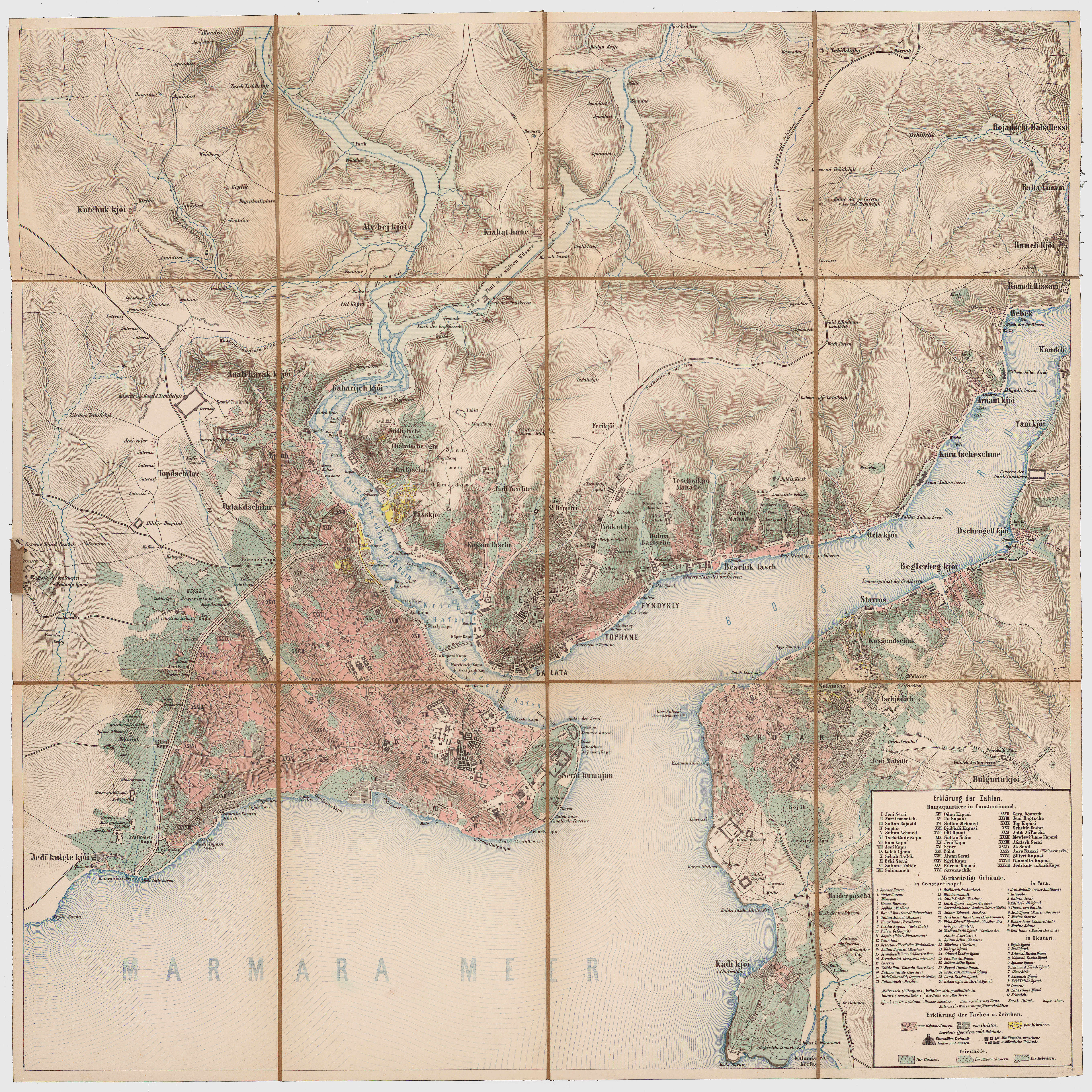
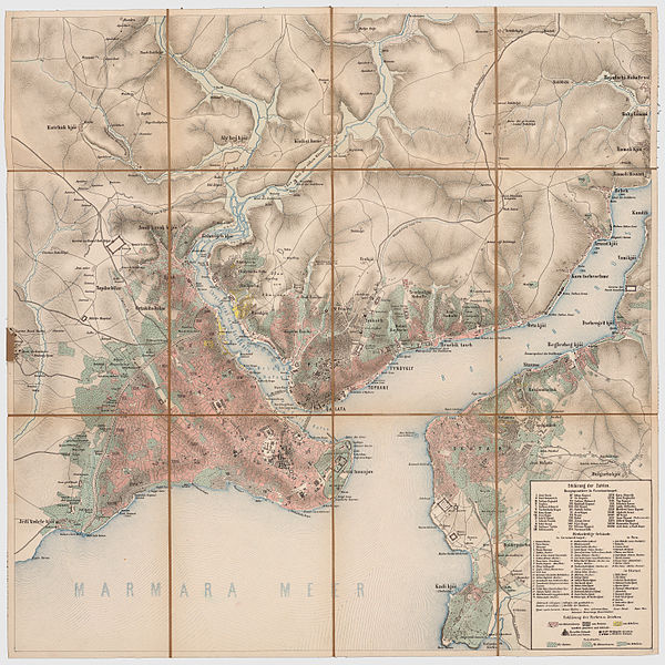
Deutsch: Konstantinopel, Pera, Skutari,Goldenes Horn, südlicher Bosporus, aus der Generalkarte der europäischen Türkei und Griechenlands |
| Date | between 1860 and 1870 |
| Source | Militärgeographisches Institut der österreichisch-ungarischen Monarchie aus den Jahren 1860-70 |
| Author | Aufnahmeteam des Militärgeographischen Institutes der österreichisch-ungarischen Monarchie unter der Leitung von Josef Scheda um 1860-70 |
Licensing
|
This work is in the public domain in its country of origin and other countries and areas where the copyright term is the author's life plus 100 years or fewer. | |
| This file has been identified as being free of known restrictions under copyright law, including all related and neighboring rights. | |
This media file is in the public domain in the United States. This applies to U.S. works where the copyright has expired, often because its first publication occurred prior to January 1, 1930, and if not then due to lack of notice or renewal. See this page for further explanation.
|
 | |
 |
File history
Click on a date/time to view the file as it appeared at that time.
| Date/Time | Thumbnail | Dimensions | User | Comment | |
|---|---|---|---|---|---|
| current | 20:56, 19 May 2012 | | 6,019 × 6,018 (45.85 MB) | Josef Moser |
File usage
The following 5 pages use this file:
Global file usage
The following other wikis use this file:
- Usage on az.wiki.x.io
- Usage on ba.wiki.x.io
- Usage on ca.wiki.x.io
- Usage on cs.wiki.x.io
- Usage on de.wiki.x.io
- Usage on de.wiktionary.org
- Usage on el.wiki.x.io
- Usage on fr.wiki.x.io
- Usage on it.wiki.x.io
- Usage on ka.wiki.x.io
- Usage on ky.wiki.x.io
- Usage on la.wiki.x.io
- Usage on mk.wiki.x.io
- Usage on nl.wiki.x.io
- Usage on ru.wiki.x.io
- Usage on tr.wiki.x.io
- Usage on uk.wiki.x.io
- Usage on uz.wiki.x.io
- Usage on www.wikidata.org